The Foothills & Montebello Ridge
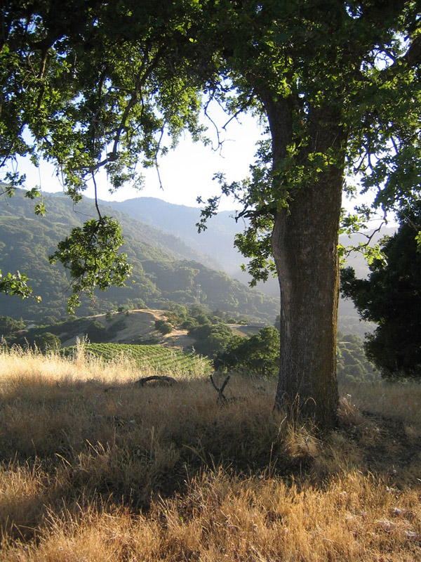
West of the city the land climbs to Montebello Ridge, where the Picchetti brothers planted vines in 1877. Today the hills are open space: Picchetti Ranch, Stevens Creek County Park, Fremont Older and Rancho San Antonio.

Discover The Foothills & Montebello Ridge
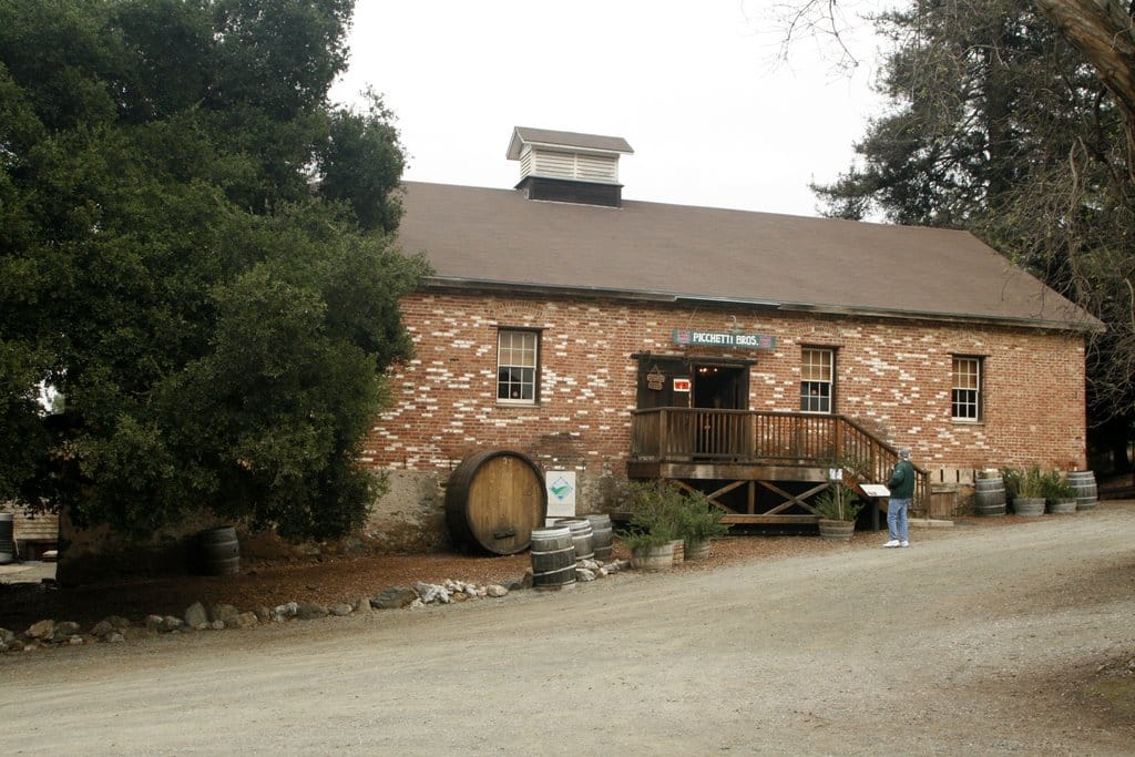
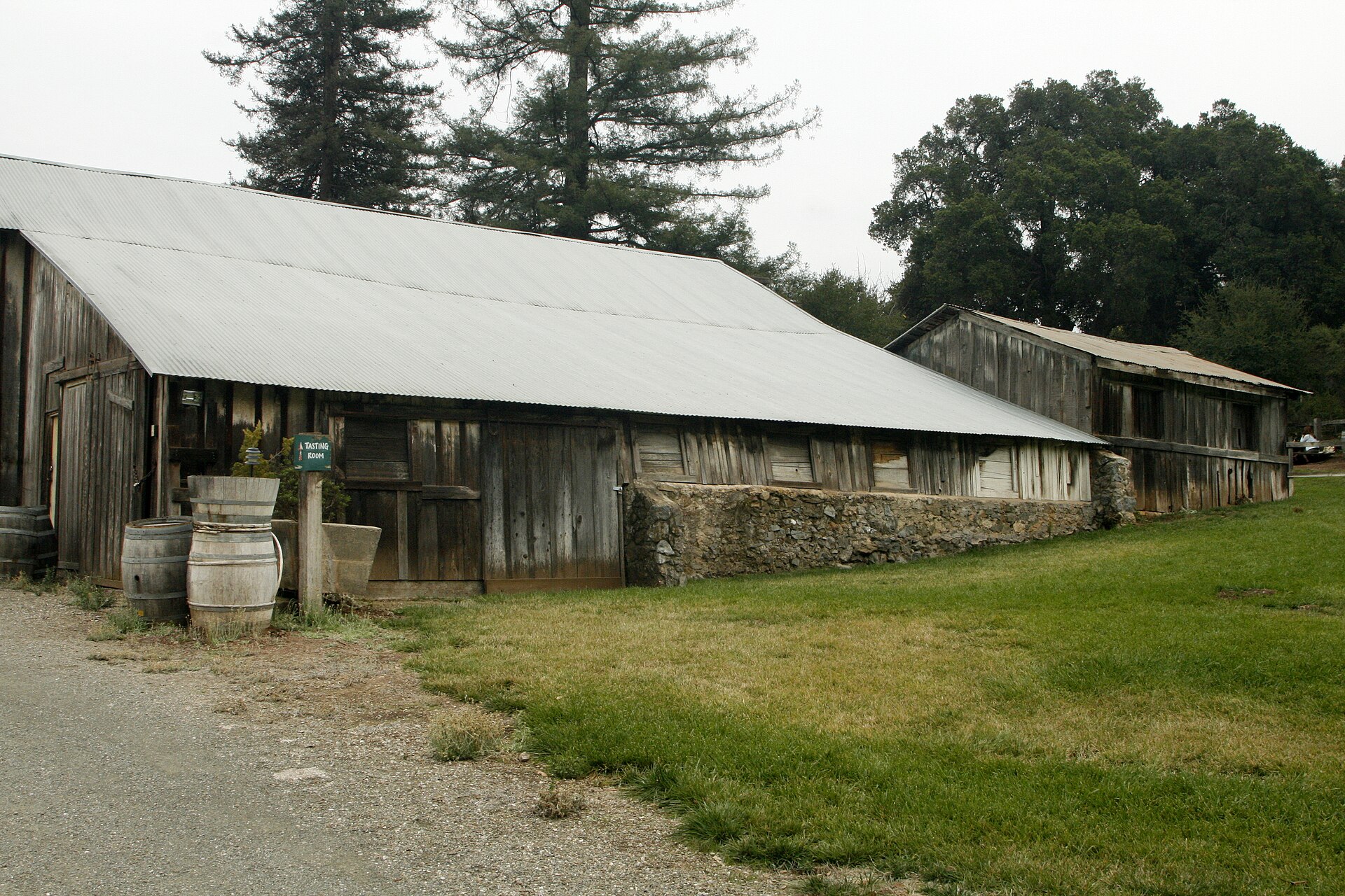
Vincenzo and Secondo Picchetti settled on the ridge in 1877, named it Monte Bello, beautiful mountain, and began making their own wine in 1896 as California Bonded Winery number 148. (Wikipedia) The open space district’s 308-acre preserve keeps the historic winery, run by a lessee, and 3.7 miles of trail; peacocks still wander the grounds. (Midpen)
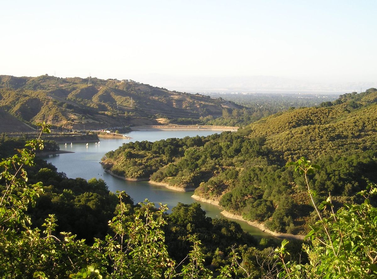
Stevens Creek Dam was built in 1935, and Stevens Creek County Park, 1,063 acres, surrounds the reservoir, with six miles of trails connecting to Fremont Older. (Wikipedia)
Fremont Older Open Space Preserve, 739 acres, is named for the San Francisco editor who bought the land in 1912 and built his house, Woodhills, in 1914. (Wikipedia) Maisie’s Peak, its highest point, is named for Maisie Garrod, whose family’s hayfields and fruit trees remain. (Midpen)
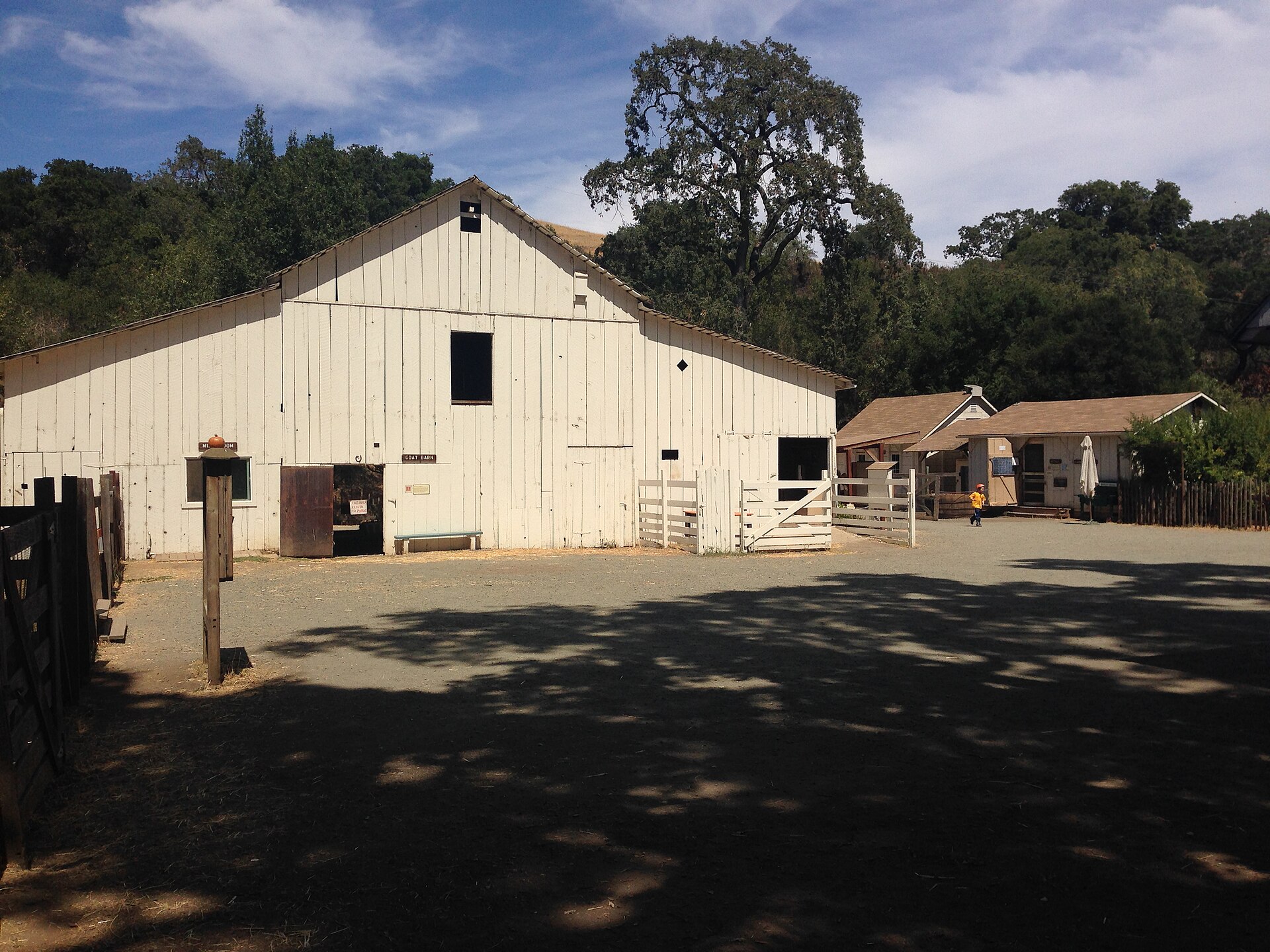
On the city’s northwestern edge, Rancho San Antonio has more than 25 miles of trail, Deer Hollow Farm with its turn-of-the-century ranch buildings, and a trail to the top of Black Mountain. (Midpen)

Cupertino magic: A cherry grove, a creekside ranch and the old West Side
→
Inquiry
We read everything
LET’S COLLAB. Run a business in Cupertino? Want to be listed or featured, spotted something to fix, or want to bring Made In to your own town? Tell us.